Custom Pricing Available
This item requires a custom quote. Please contact us for pricing and availability.
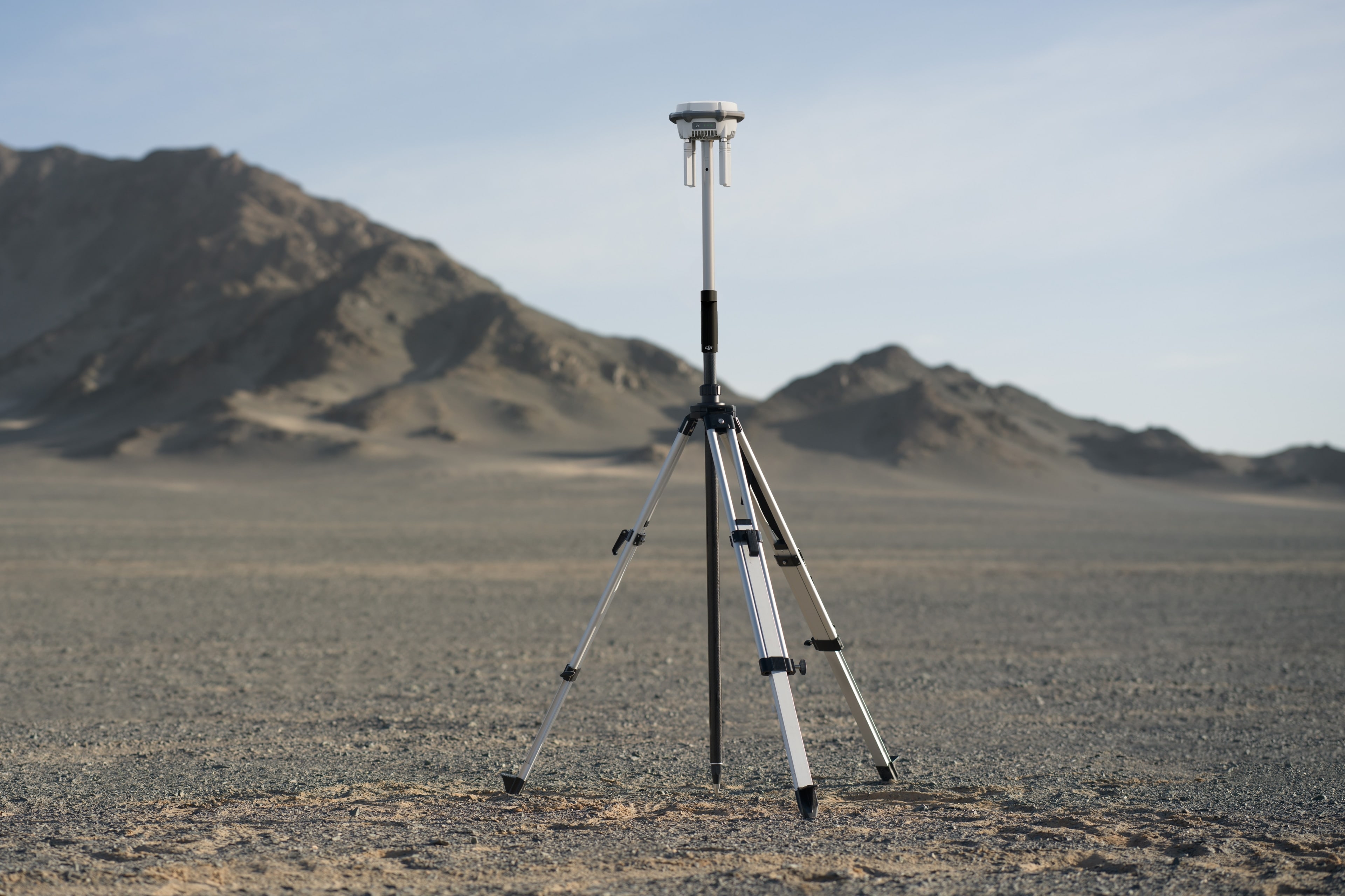
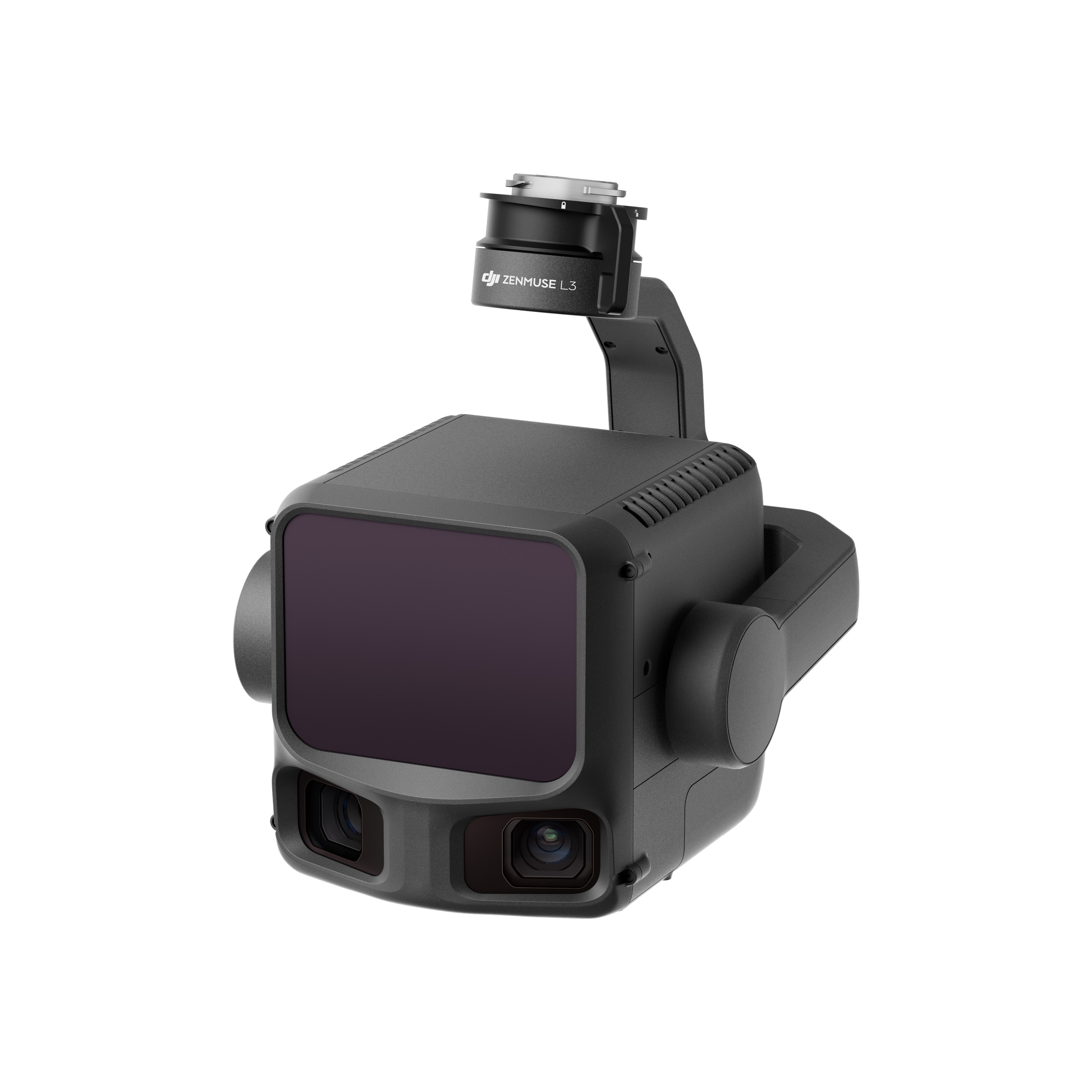
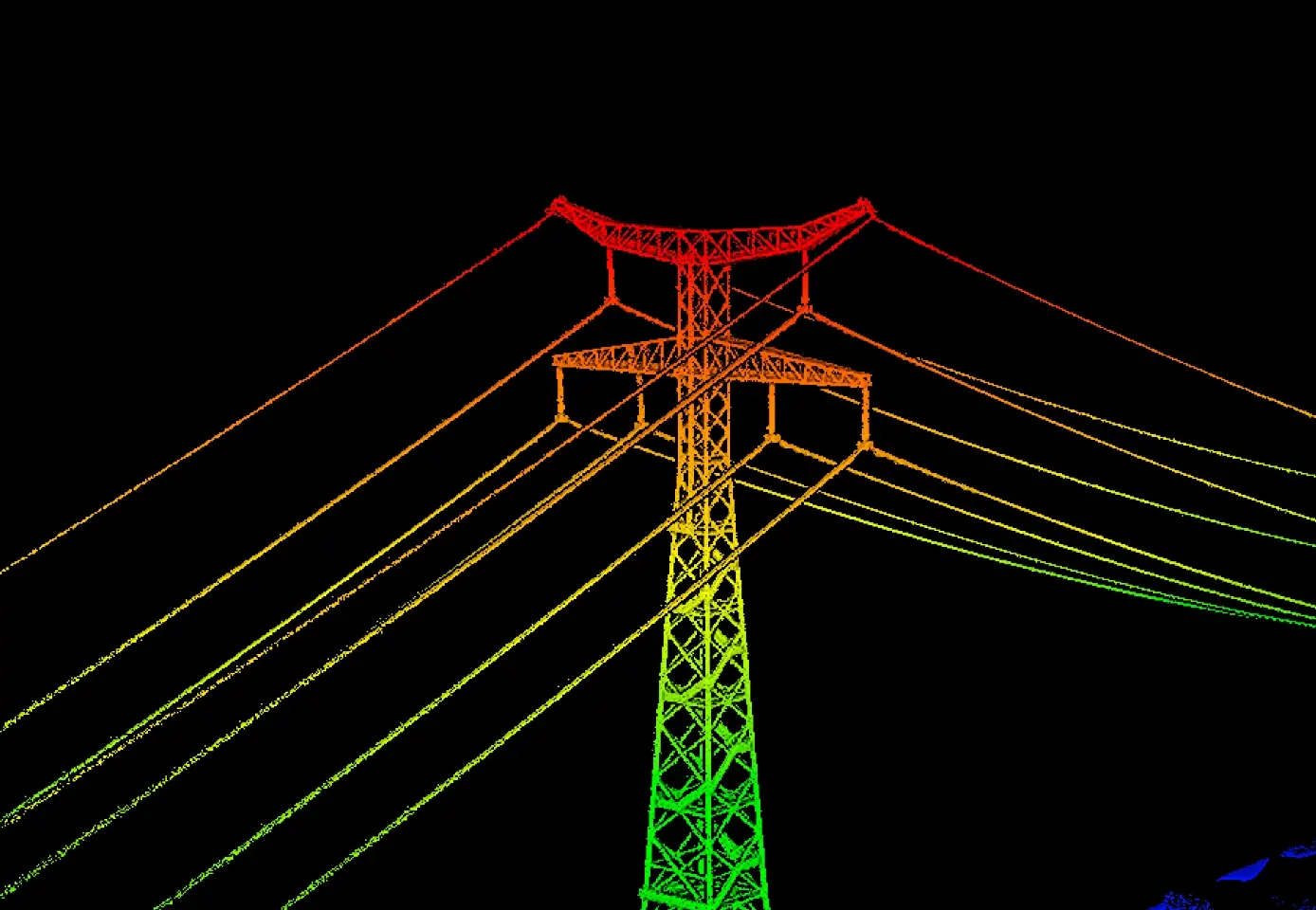
DJI's First Long-Range, High-Accuracy Aerial LiDAR System
Zenmuse L3 achieves a maximum detection range of 950 m [1] at a pulse rate of 100 kHz, tested under 100 klx ambient light and on objects with 10% reflectivity.
Equipped with dual 100MP 4/3 CMOS RGB sensors and a mechanical shutter, Zenmuse L3 delivers significantly enhanced accuracy and efficiency. Pixel binning supports an effective 25MP resolution.
Vertical accuracy is better than 3 cm at 120m altitude, better than 5 cm at 300 m, and better than 10 cm at 500 m [3], easily supporting mapping projects at 1:500, 1:1000, and 1:2000 scales.
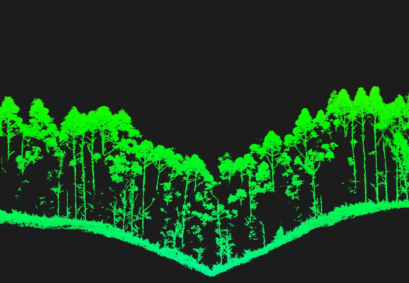
Provides superior penetration capability with a smaller laser spot and higher single-pulse energy. For terrain mapping and similar uses, L3 captures more complete ground points for better results.

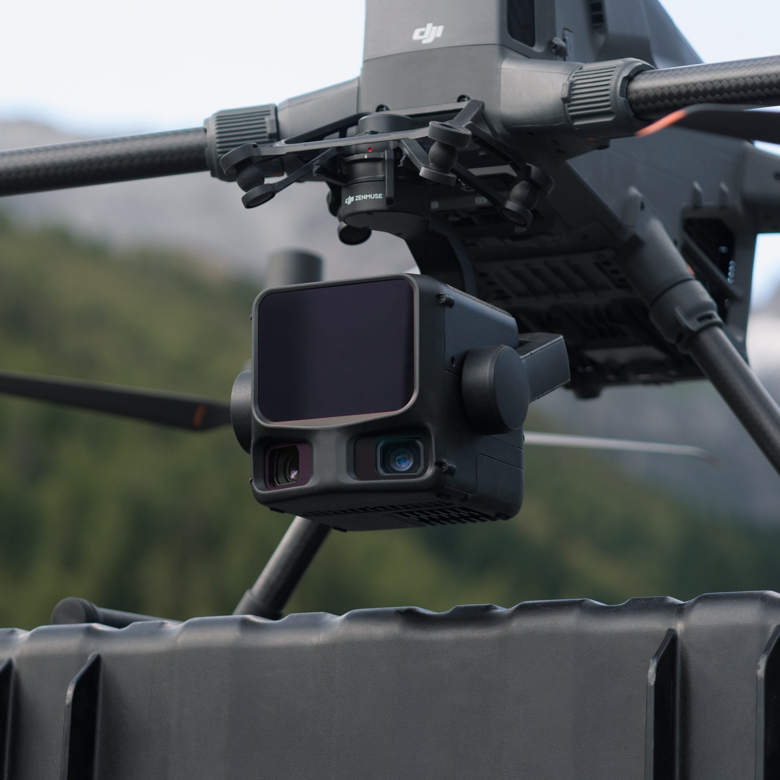
When mounted on DJI Matrice 400, Zenmuse L3 delivers outstanding efficiency. At a flight altitude of 300 m, a single flight can cover up to 10 km², enabling up to 100 km² of daily coverage [2].

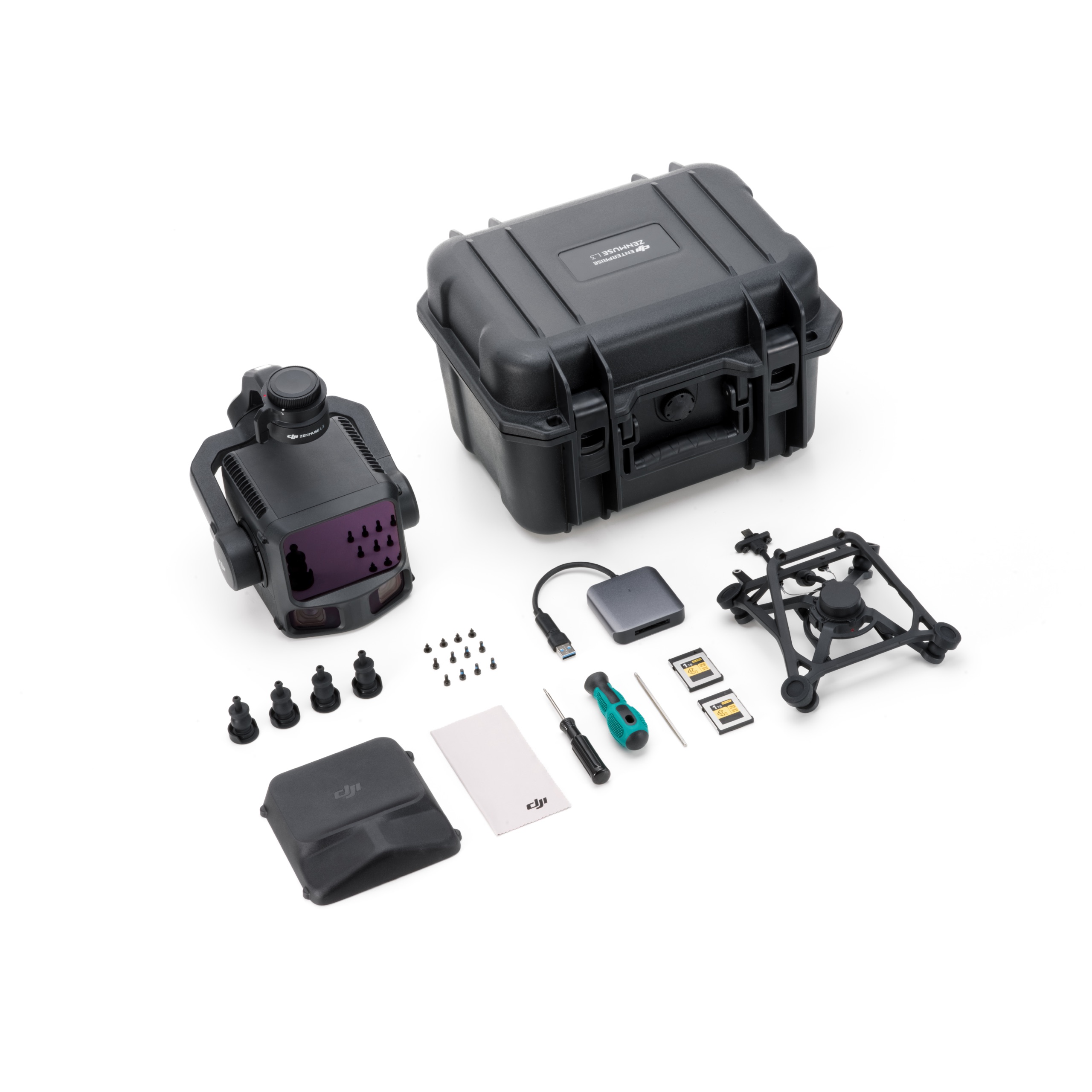
Zenmuse L3 integrates with DJI's ecosystem to deliver an end-to-end mapping solution. Enjoy simpler, unified workflows from data acquisition and processing to application.