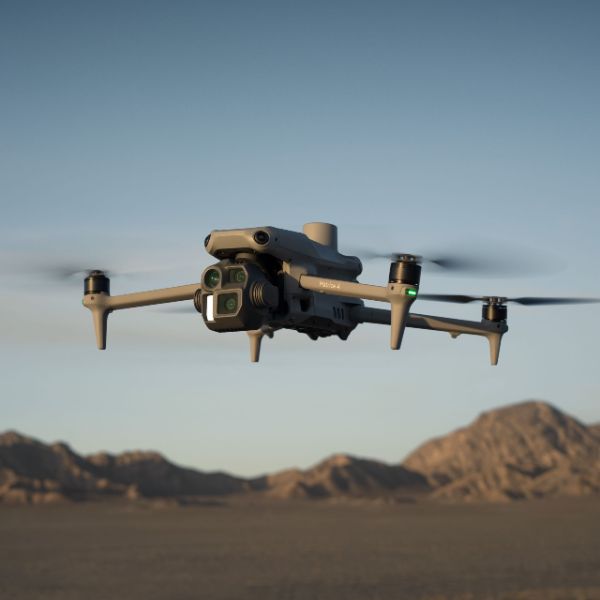
The Matrice 4E is designed for geospatial applications such as surveying and mapping, construction, and mining. A new era in intelligent aerial operations begins now.
Built-in AI identifies vehicles, vessels, and subjects during search and rescue or routine flights. Offers Cruise, FlyTo, Smart Track, and POI functions.

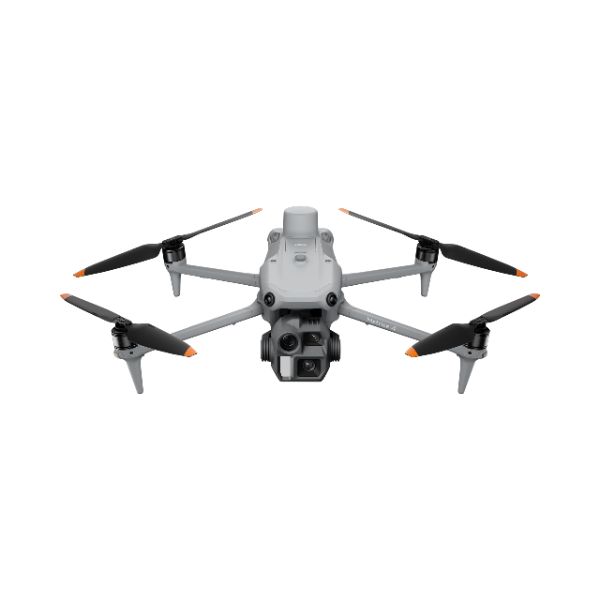
The Matrice 4 series cameras have larger apertures, new Night Scene Mode and Low-Light Fisheye Omnidirectional Sensing, [1] the Matrice 4T additionally features new hardware for NIR illumination, supports infrared super-resolution for SAR.

The medium tele camera identifies screws from 10 meters [2] and reads instrument data at substations, while the tele camera captures details from signs up to 250 meters away with improved clarity. [3]
Supports 5-Directional Oblique Capture, 3-Directional Ortho Capture[4], and Smart 3D Capture. The Matrice 4E also supports 0.5-Second interval shooting, and combine with DJI Pilot 2 to automatically generate mapping reports.

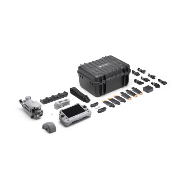
Features GNSS and Vision Integrated Positioning and Navigation System. O4 Enterprise video transmission range over 20 km and can be equipped with DJI Cellular Dongle 2.

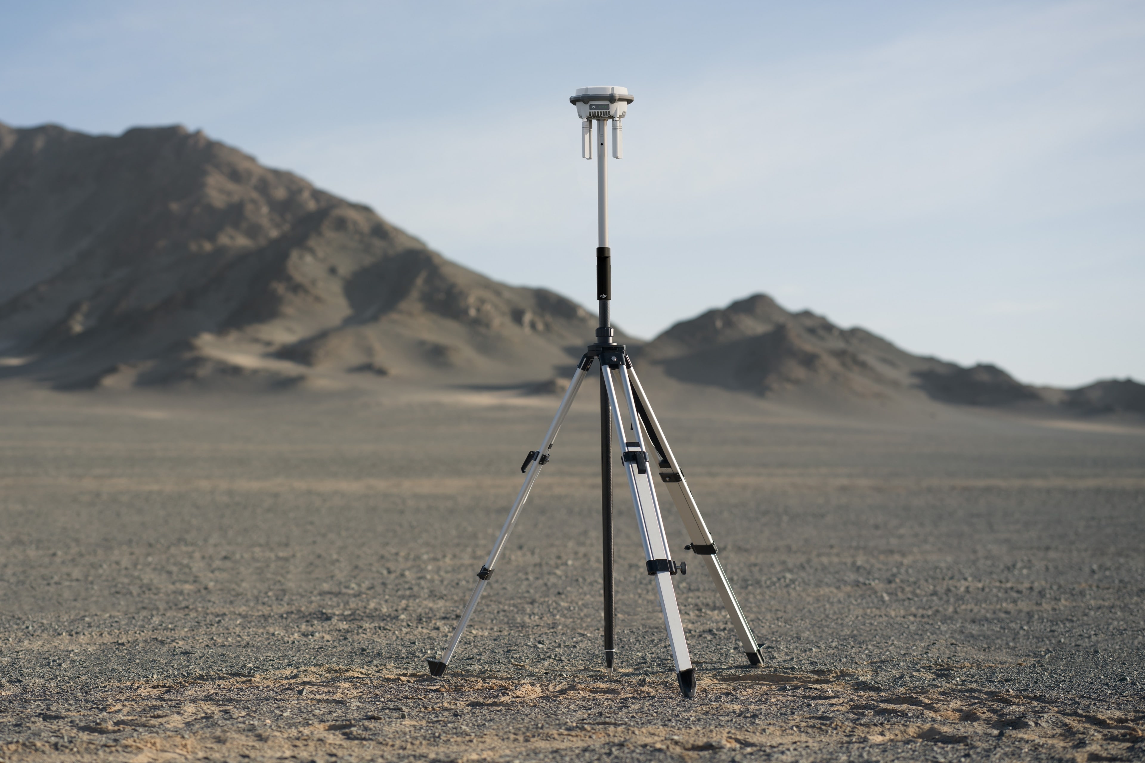
Providing options such as Gimbal-Following Spotlight, Real-time Voice Speaker, D-RTK 3 Multifunctional Station and DJI RC Plus 2 Enterprise Remote Controller.